Modernization
Learn more about government’s intention to modernize the museum to protect our historic holdings and provide better access to our collections.

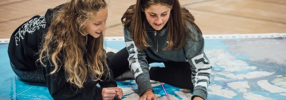
Students from k to 12 can engage with the giant Canada C3 floor map in a variety of ways to stimulate deeper thinking about geography, Canada’s coastline, Indigenous coastal communities, traditional knowledge and more. The map was created as part of the Canada Coast to Coast to Coast journey (Canada C3) and the Royal BC Museum was proud to be a Community Hub location and to have two of our scientists Dr. Joel Gibson and Dr. Henry Choong on board for the journey. The Canada C3 giant floor map is linked to the six essential elements of geography as defined by the Canadian National Standards for Geography:
The kits are available for loans to BC schools and organizations only. There are limited copies available so plan accordingly.
The map is 5 x 4 m (17.5 x 13 ft) in size and comes in a carry on suitcase weighing approximately 4.5 kg (10 lbs). The route of the Canada C3 journey is highlighted along with Parks Canada National Heritage sites, UNESCO World Heritage sites, migratory bird sanctuaries, national wildlife areas and marine protected areas. The provinces, territories and provincial capitals are also indicated. The map is presented in English and French.
Lesson plans have been developed by Canada C3 (funded in part by the Canada 150 fund) and the Students on ice Foundation. Review and download the lesson plans you wish to use here.
Review the links to lesson plans prior to the map’s arrival. You can also visit the Canada C3 website for videos, podcasts, blogs and more.
Clear space to unfold the map and encourage students to remove their shoes prior to standing on or walking across the map. Food and drink should not be consumed in close proximity to the map. When you wrap up the map, please use a broom to sweep it off as you go to keep it clean and ready for the next user.