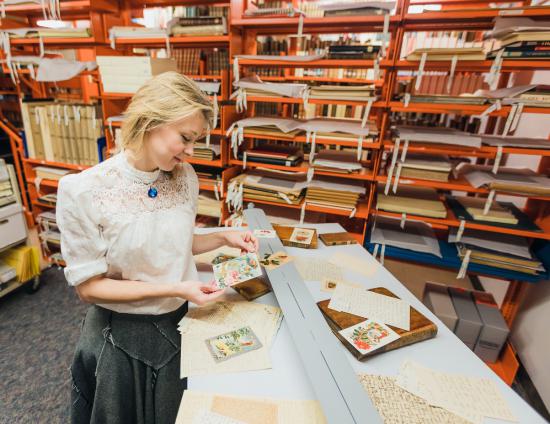
Modernization
Learn more about government’s intention to modernize the museum to protect our historic holdings and provide better access to our collections.
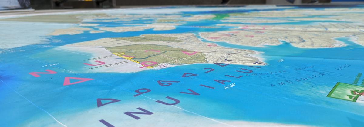
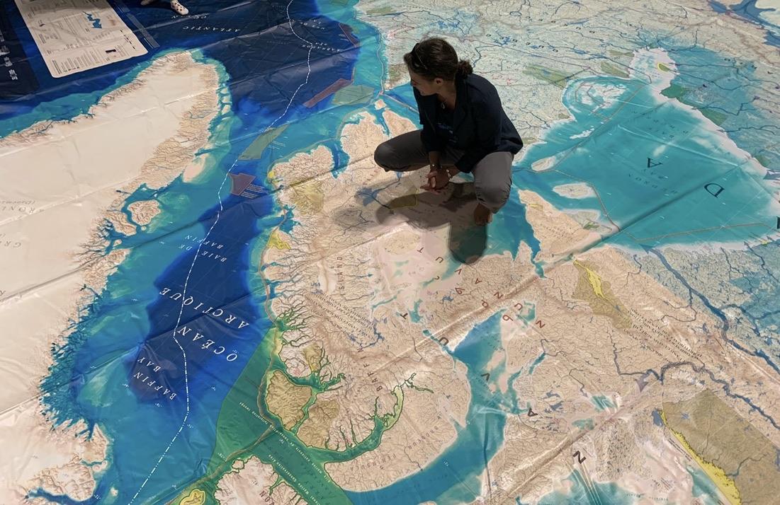
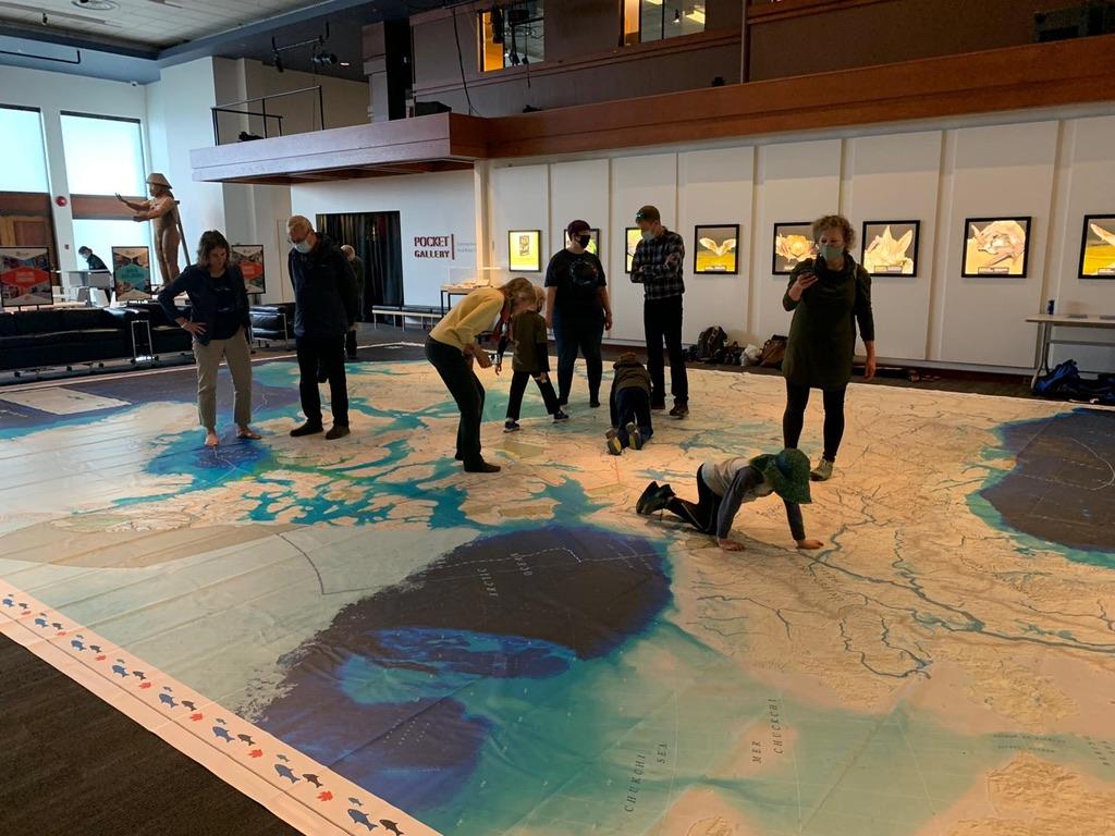
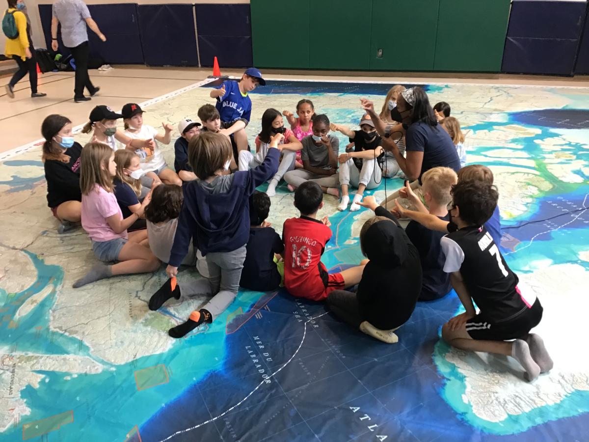
Ocean, Freshwater and Us: Exploring our Relationship with Canadian Waters has been developed by Ocean Week Canada and partners. This map offers students (of all ages) an opportunity to discover and explore the diverse aspects of geography in a unique and interactive way that accommodates various learning styles and is easy to integrate at all grade levels.
The kits are available for free, two-week loans to BC schools and organizations only. There are limited copies available so plan accordingly. If our kit is unavailable, you can also try to order the kit directly from Canadian Geographic.
When we say giant we mean it! The map is 8 metres wide by 11 metres long (gym sized) and comes in a case weighing approximately 11 kg. Included in the kit are the map, a teacher’s guide, hard copies of all learning activities and all required material for five activities produced by Canadian Geographic and accompanying materials.
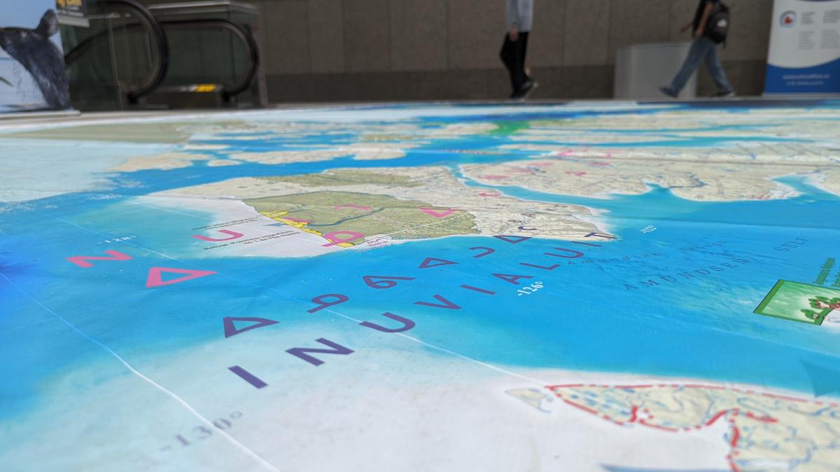
The map covers waterflow, wetlands, ocean protected areas, terrestrial protected areas, permanent sea ice, ocean surface labels and sub-surface labels and First Nations boundaries, languages, communities, reserves and settlements on the land. The key messages are:
Lesson plans are available in French and in English. Review and download the lesson plans you wish to use here.
Review the lesson plans prior to the map’s arrival. You can also visit Ocean Week Canada for additional resources.
Download the Ocean Canada app (currently only for ios) to unlock the augmented reality (AR) features.
Clear space to unfold the map and encourage students to remove their shoes prior to standing or walking across the map. Food and drink should not be consumed in close proximity to the map. Before packing up the map, use a broom to sweep it off and keep it clean for the next user. In cases where the map gets wet, use an absorbent towel to dry it thoroughly before fold it up and returning it.
We expect some wear and tear and if you notice any damage to the map please let us know so we can attend to it.