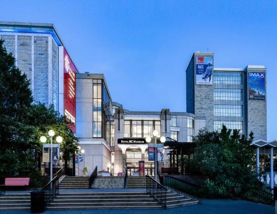
Modernization
Learn more about government’s intention to modernize the museum to protect our historic holdings and provide better access to our collections.

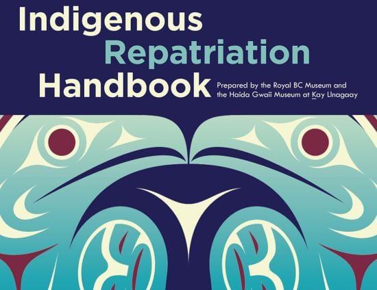
The Royal BC Museum is developing a committee to support the redevelopment of the First Peoples Gallery.
Learn more here.
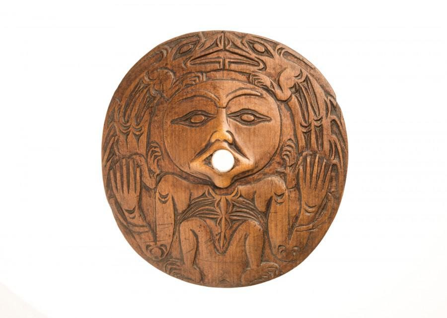
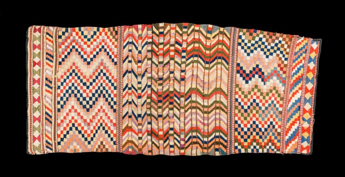
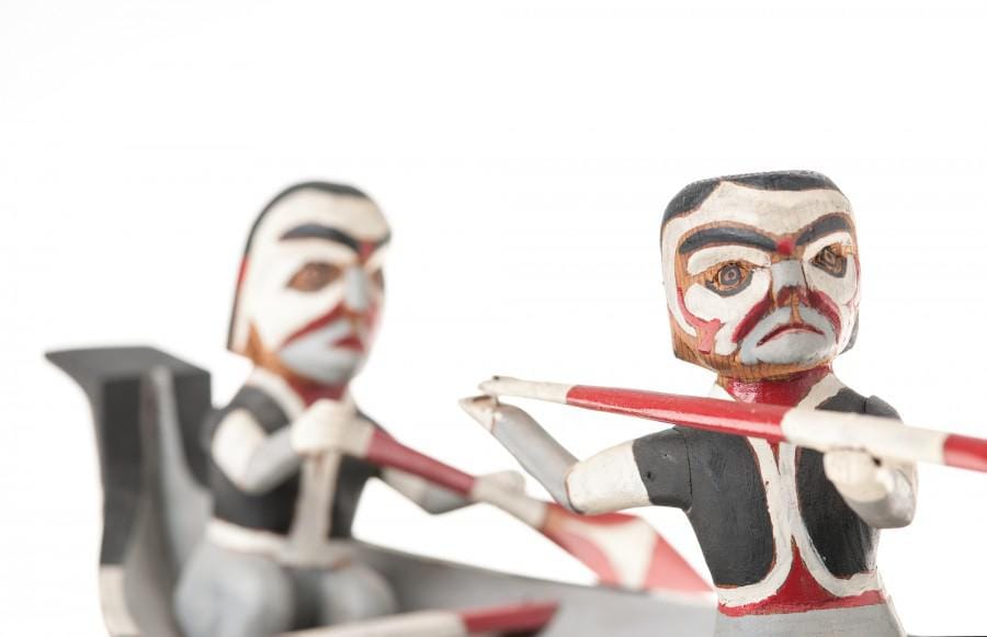
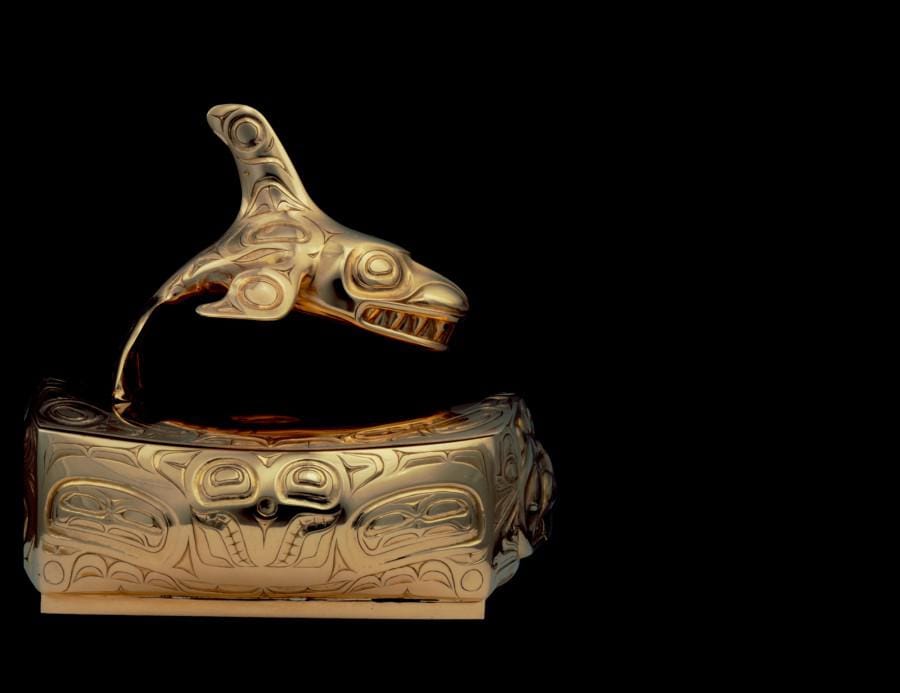
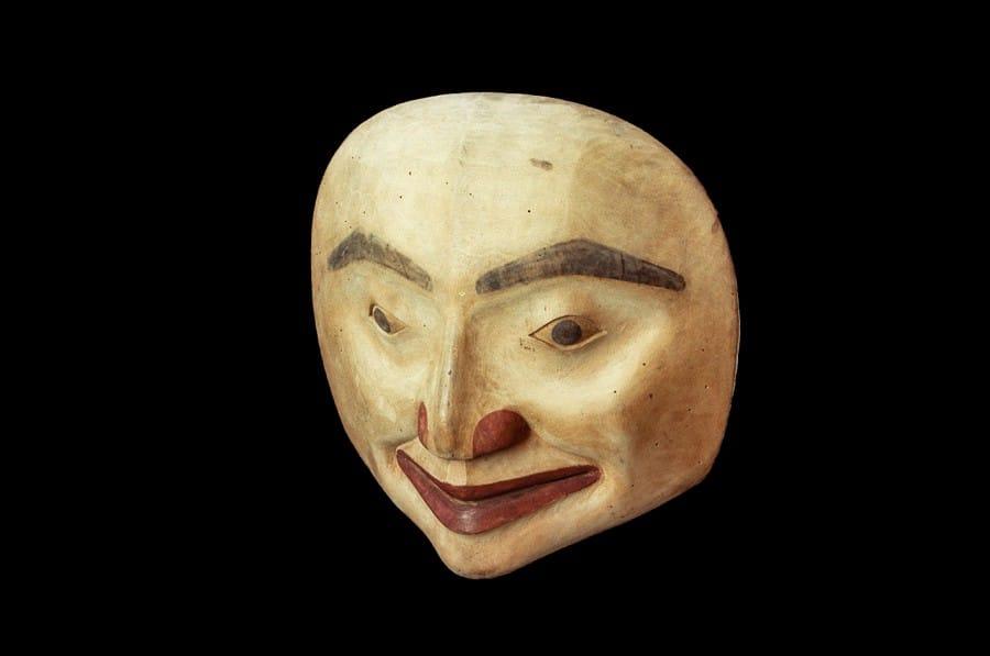
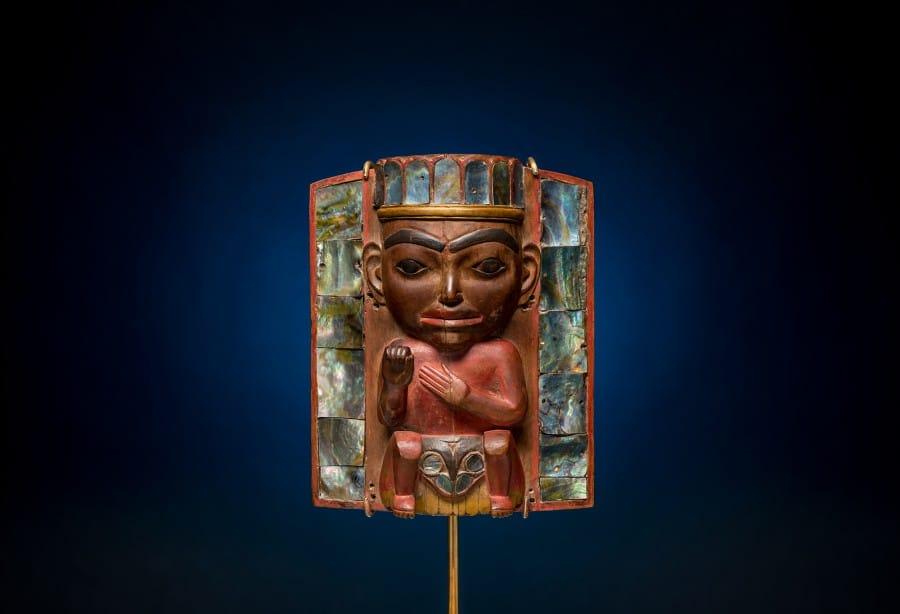
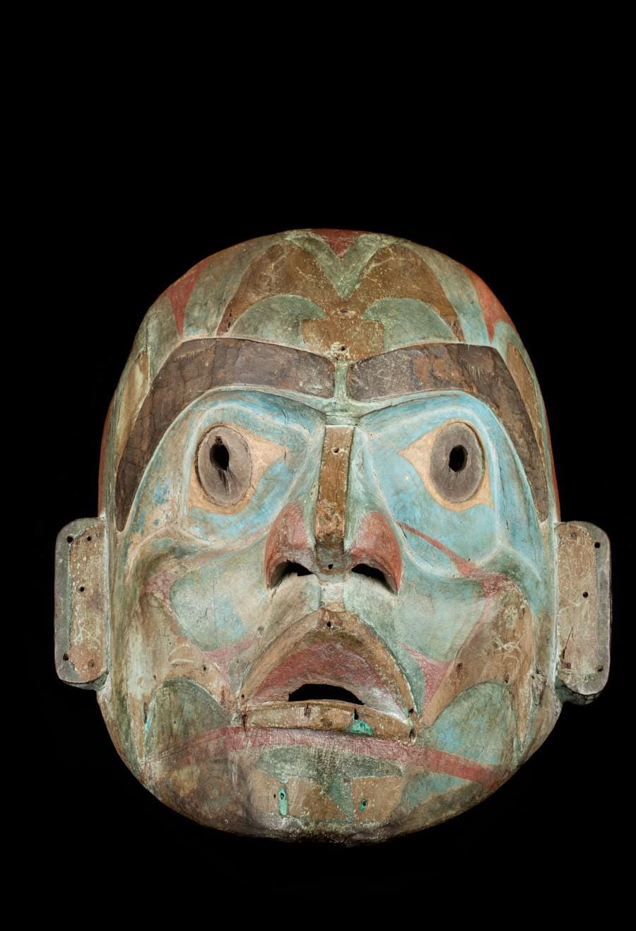
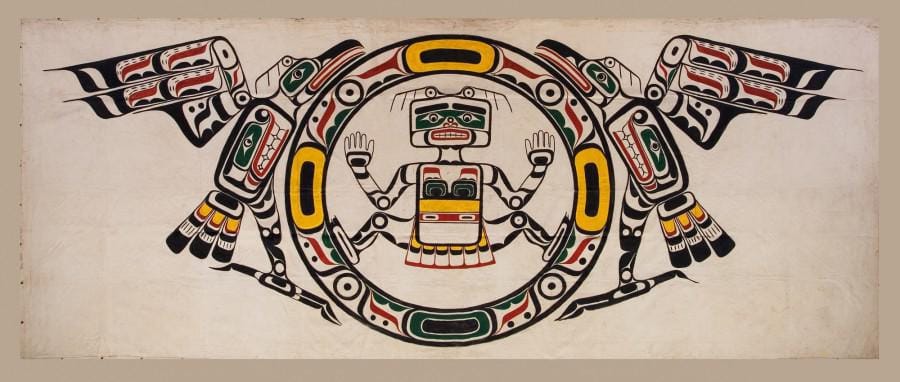
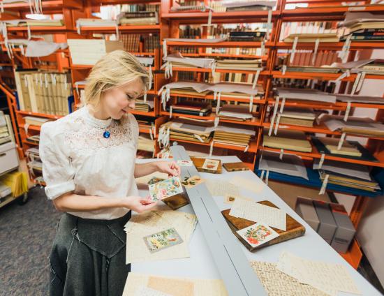
The Royal BC Museum is home to thousands of spectacular photographs, films, recordings and objects showcasing the many First Nations cultures in BC. These items represent up to 10,000 years of history from across the province, celebrating the diversity and resilience of Indigenous peoples. The Royal BC Museum is honoured to care for these extraordinary collections, which provide an invaluable resource for research and public programming.
Whether you’re visiting in person or online, these collections will broaden and evolve your understanding of First Nations cultures. Researchers can access thousands of records documenting First Nations communities in the BC Archives, including the Vancouver Island Treaties and recordings from musicologist Ida Halpern. Online, learn about the Indigenous languages in BC on the Learning Portal or immerse yourself in videos about First Nations in BC on the Royal BC Museum Channel.
In May 2016, the minister of indigenous and northern affairs announced that Canada supports, without qualification, the UN Declaration on the Rights of Indigenous Peoples.